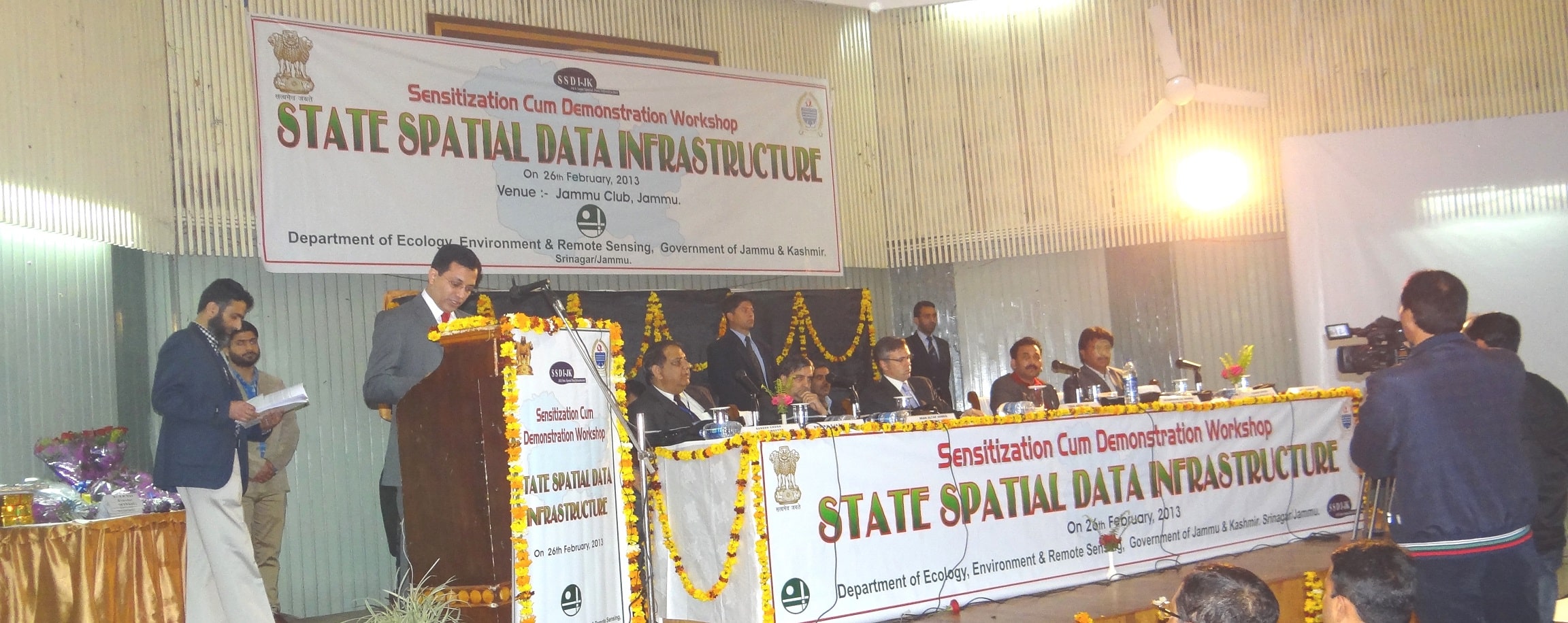
The State Spatial Data Infrastructure(J&K State Geoportal) has been established to create infrastructure for availability of and access to organized spatial data and use of the infrastructure at Community, Local, State, Regional and at National levels.
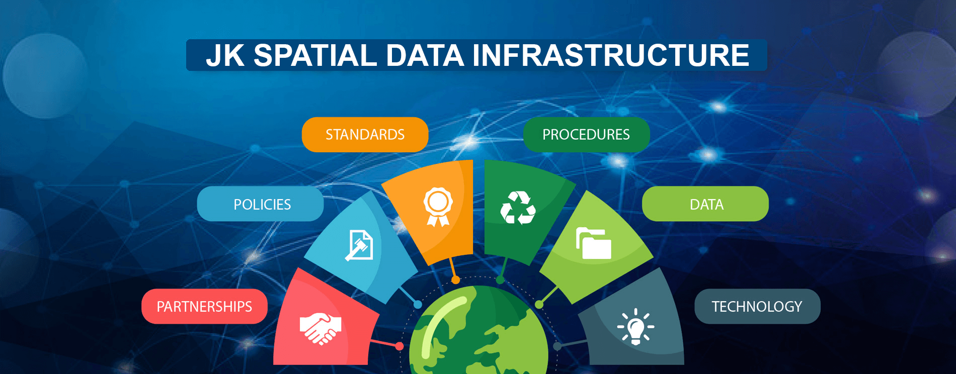
A spatial data infrastructure (SDI) is a data infrastructure implementing a framework of geographic data, metadata, users and tools that are interactively connected in order to use spatial data in an efficient and flexible way. It is the technology, policies, standards, human resources, and related activities necessary to acquire, process, distribute, use, maintain, and preserve spatial data.
Some of the main principles are that data and metadata should not be managed centrally, but by the data originator and/or owner, and that tools and services connect via computer networks to the various sources. A GIS is often the platform for deploying an individual node within an SDI. To achieve these objectives, good coordination between all the actors is necessary and the definition of standards is very important.
Objectives:
The major objectives of State Spatial Data Infrastructure are:
To make geographic information easily accessible to the Line Departments.
To create a centralized geo-database for online access by the users.
To reduce duplication of efforts and resources in generating geographic data.
To improve quality of geographic data.
To establish key partnerships with stake holders for increasing the use of geographic data for improving quality of life.
To formulate policies for pricing and shared use of geographic data.
Expected benefits
The expected benefits from SSDI-JK include:
a.To have a common state level GIS platform of regularly updated, standardized and seamless GIS data, latest satellite images and geo-linked departmental datasets that would be used by one and all.
b.To base all decisions at highest administrative level as well as at the panchayat level on near real time online Spatial Decision Support systems that would improve planning, management and monitoring under various sectors of governance.
c.To extend the scope of SDI to citizen centric GIS services like online complaints by citizens relating to non-functioning of electric transformers, defunct drinking water supply, crimes, site specific distress calls during natural and manmade disasters. In future, citizen’s will have access to geospatial information, enabling a ‘‘Crowd– sourced’’ interactive process of citizen involvement in providing feedback/inputs/data as a virtual geographical ingest.
d.Reduction in duplication of efforts, redundancy of GIS data and removal of usage of inconsistent GIS data and un-reliable decisions.
e.Ready availability and accessibility of a collection of standardized, interoperable, seamless and regularly maintained GIS datasets for the whole state.
f.Impetus to private sector participation in GIS activities by offering efficient GIS Applications as an all-inclusive support to State governance and development activities.
g. Positioning of Jammu & Kashmir in a leading role for implementation of proposed National GIS project and enabling the Government of Jammu & Kashmir to play a larger role in this critical technology arena in the country.